The Collection of John and Virginia Duncan - Session II
Thu, Oct 20, 2022 10:00AM EDT

| Price | Bid Increment |
|---|---|
| $0 | $10 |
| $100 | $25 |
| $500 | $50 |
| $1,000 | $100 |
| $3,000 | $250 |
| $5,000 | $500 |
| $10,000 | $1,000 |
| $30,000 | $2,500 |
| $150,000 | $5,000 |
| $300,000 | $10,000 |
Property from the Collection of John and Virginia Duncan, Savannah, GA
Description:
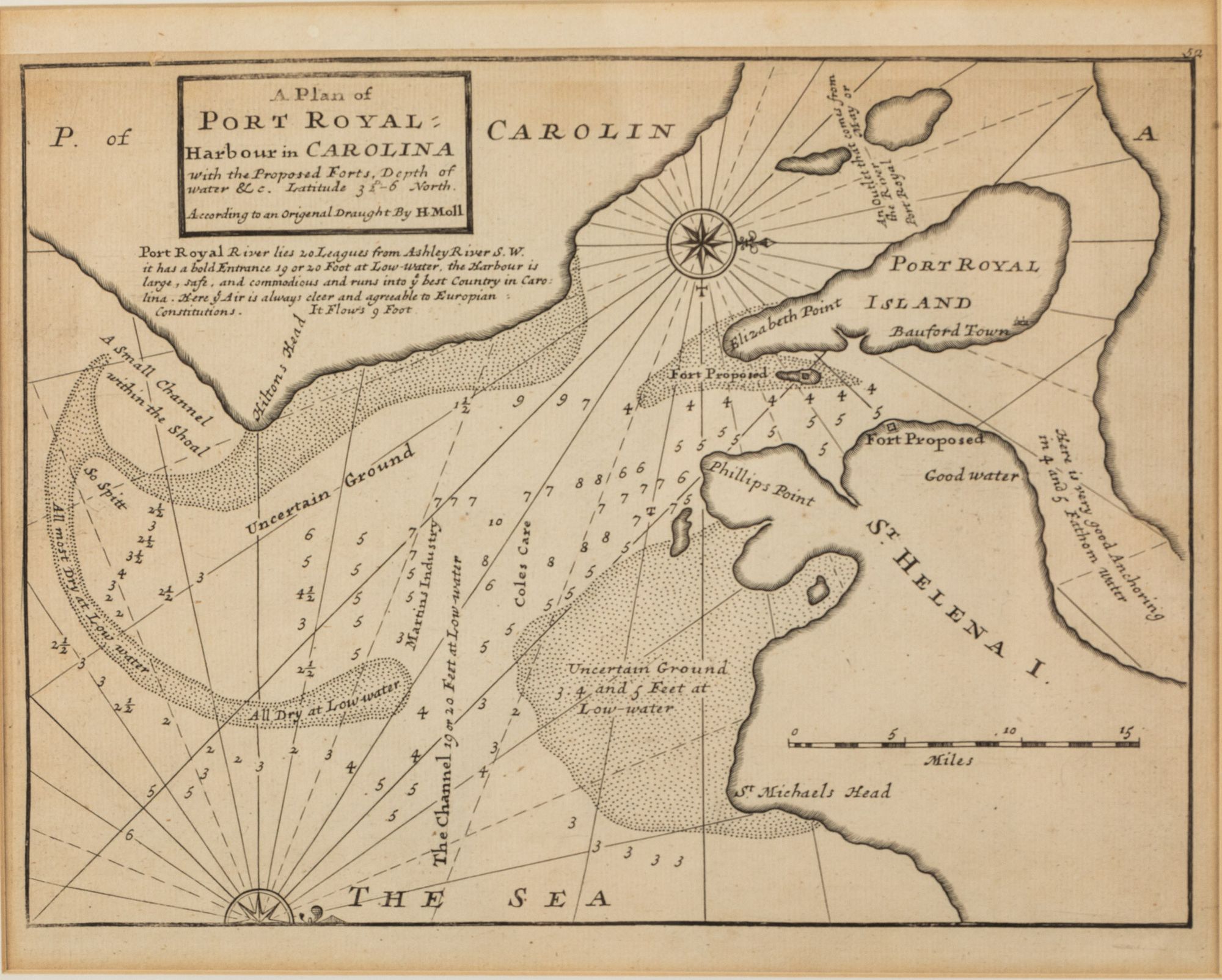
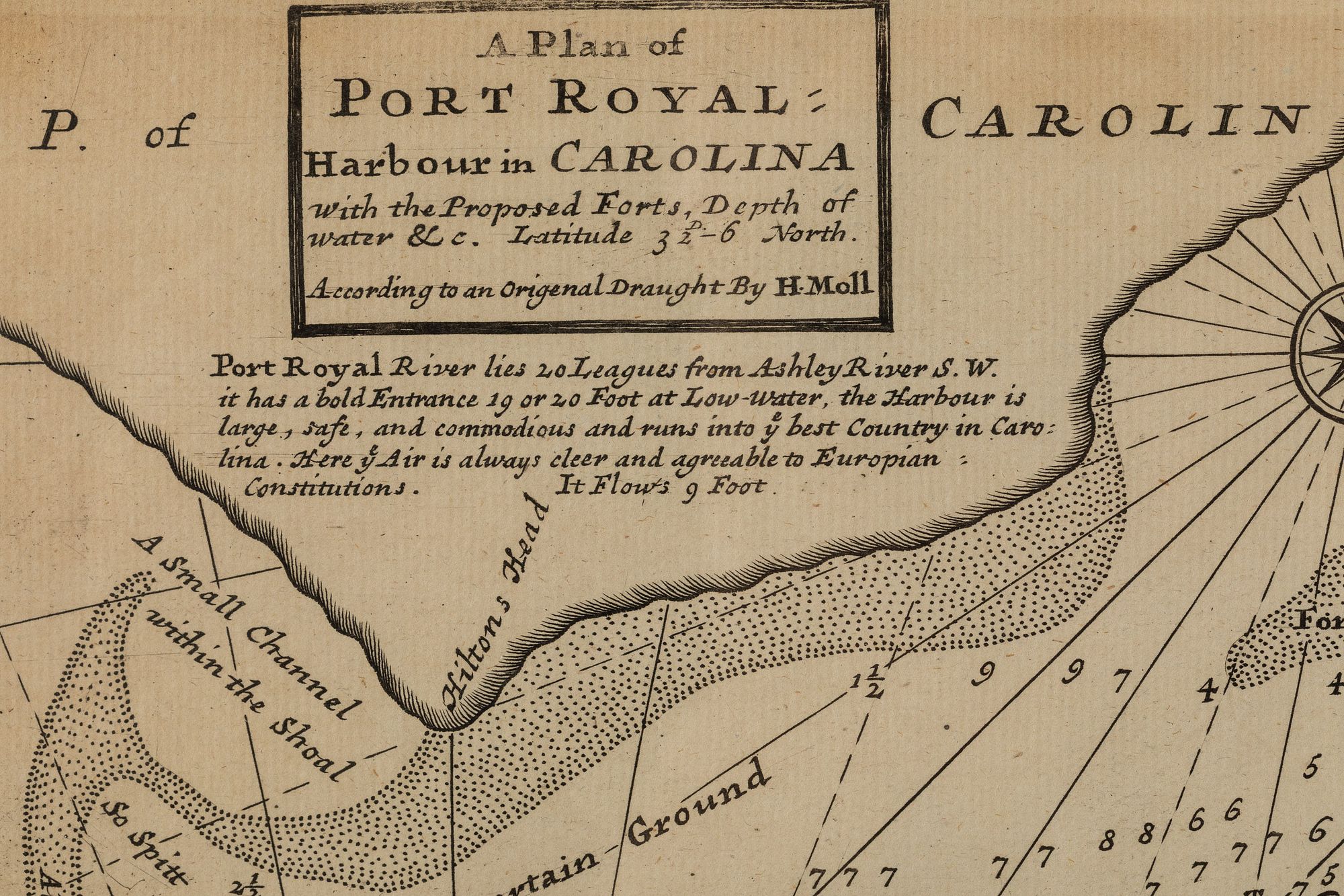
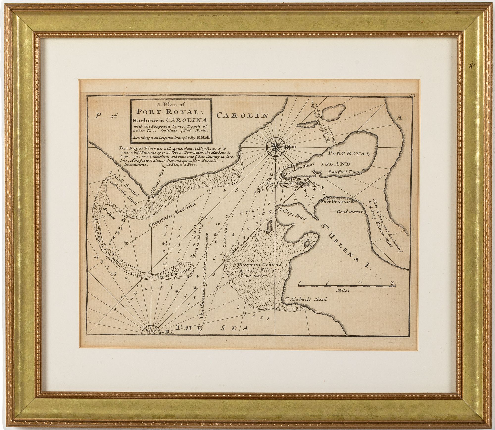
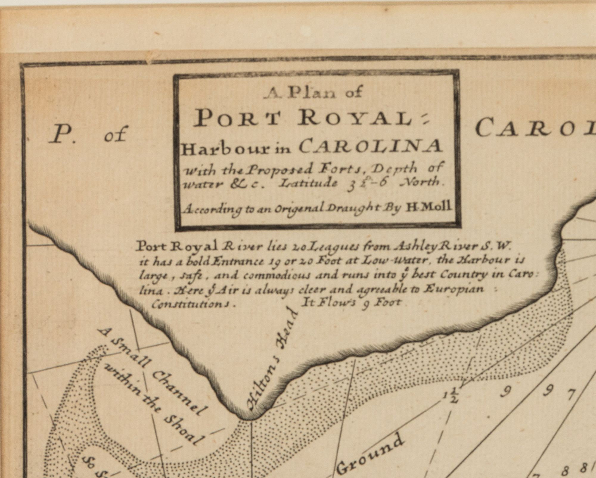
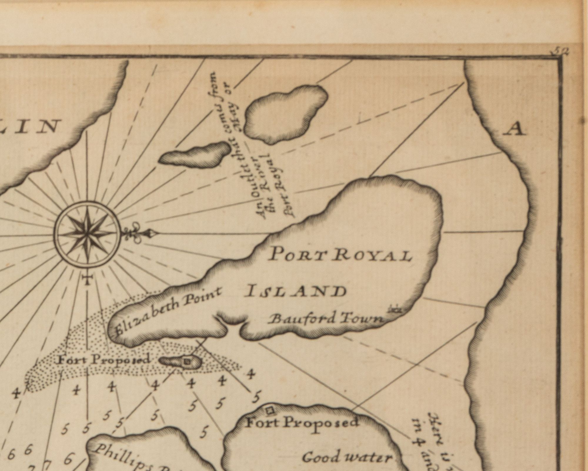
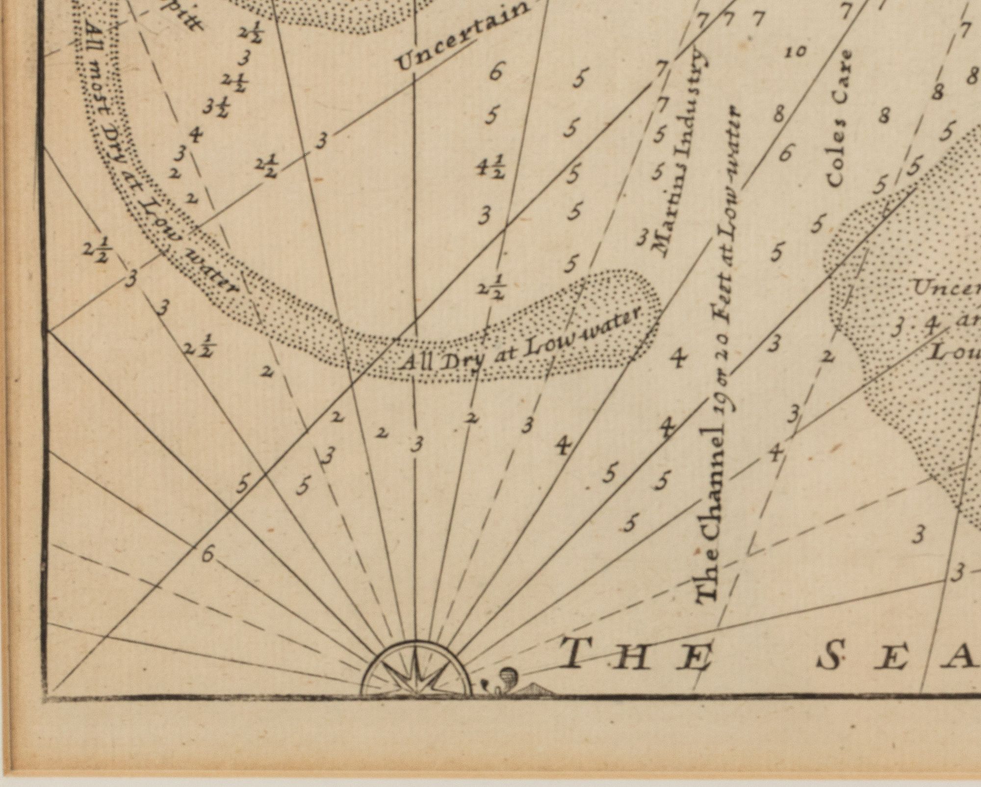
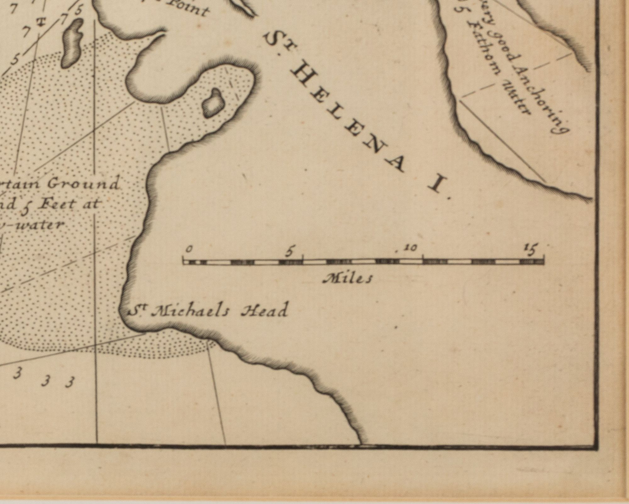
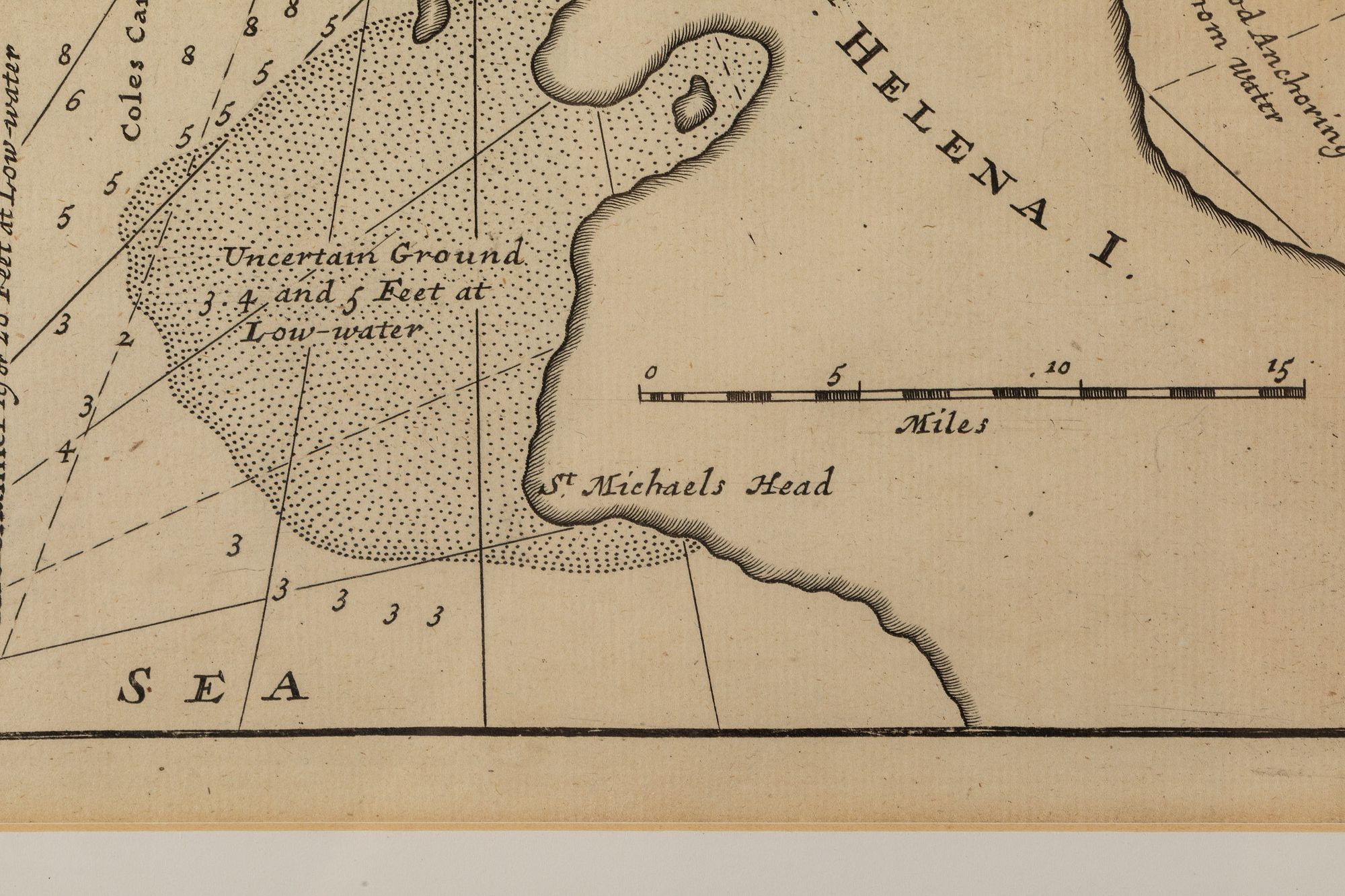
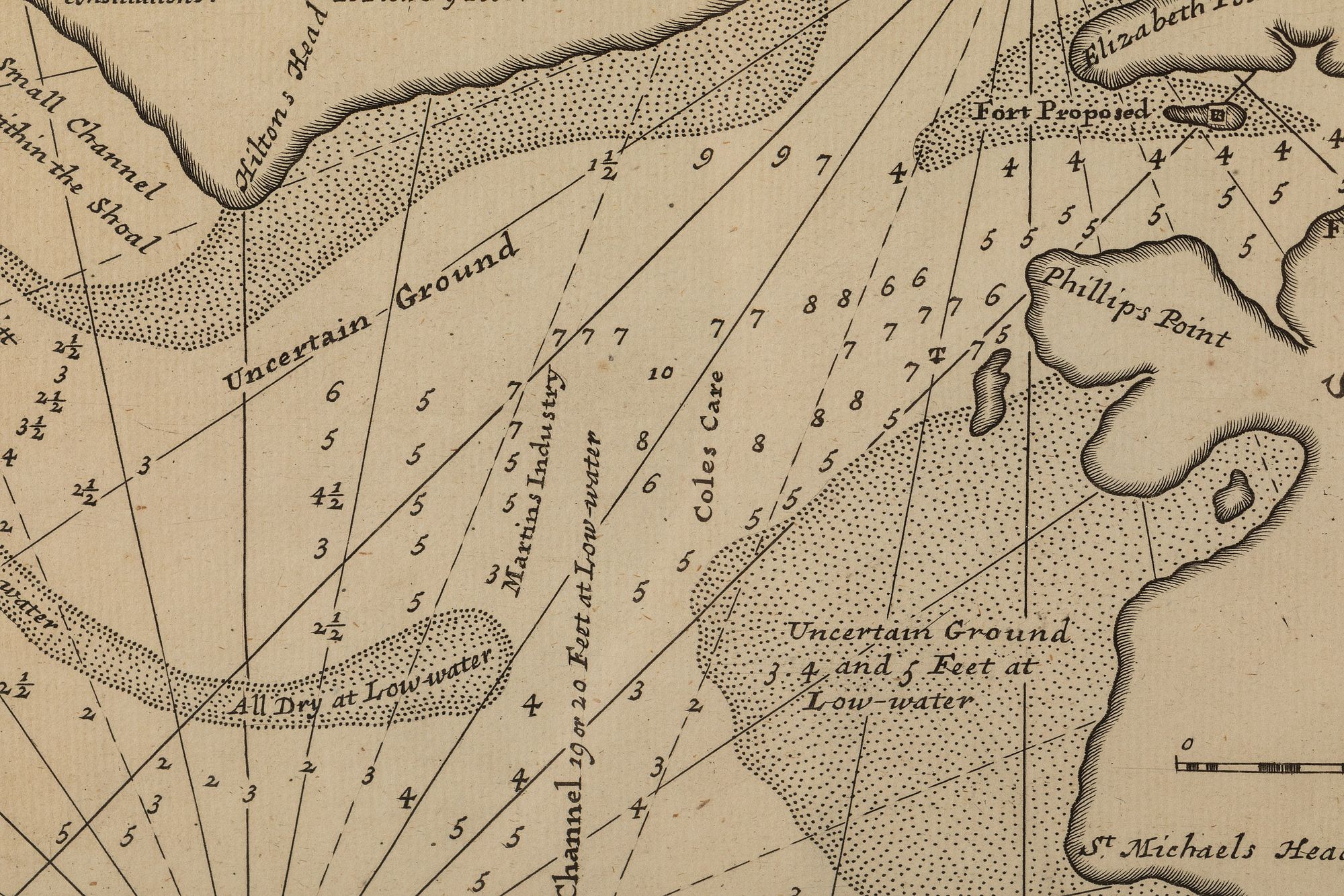
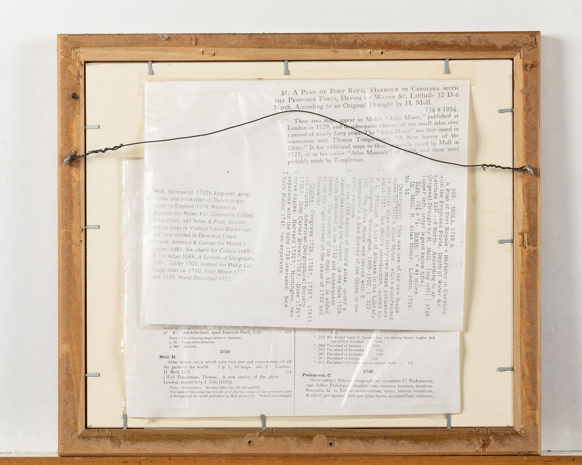
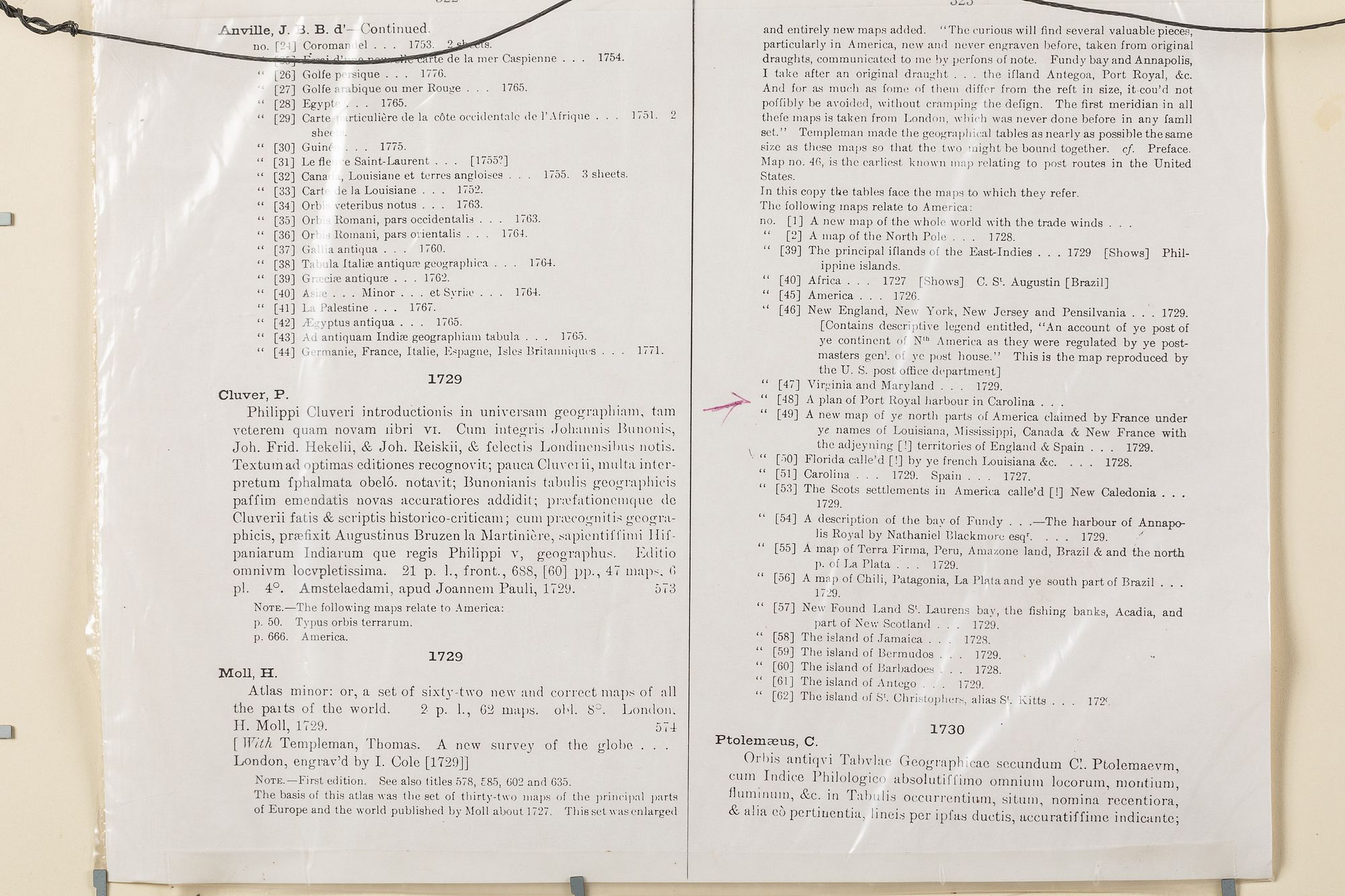
Herman Moll (1654-1732), A Plan of Port Royal Harbour in Carolina, Engraving, 1730-32, A Plan of Port Royal Harbour in Carolina, with the proposed forts, depth of water, & Latitude...according to an original draught by H. Moll', this map appeared in Moll's 'Atlas Minor', first published 1729, this map with copies of original collectors records regarding the engraver and original map attached to verso, matted and framed. Frame size: 13 7/8 in. x 16 in.Measurements: Height: by sight 9 in. x Width: 11 in.
Condition:
Overall good condition, top edge trimmed, faint toning and foxing to paper, small tear center of top edge, not viewed out of frame.