The Collection of John and Virginia Duncan - Session II
Thu, Oct 20, 2022 10:00AM EDT

| Price | Bid Increment |
|---|---|
| $0 | $10 |
| $100 | $25 |
| $500 | $50 |
| $1,000 | $100 |
| $3,000 | $250 |
| $5,000 | $500 |
| $10,000 | $1,000 |
| $30,000 | $2,500 |
| $150,000 | $5,000 |
| $300,000 | $10,000 |
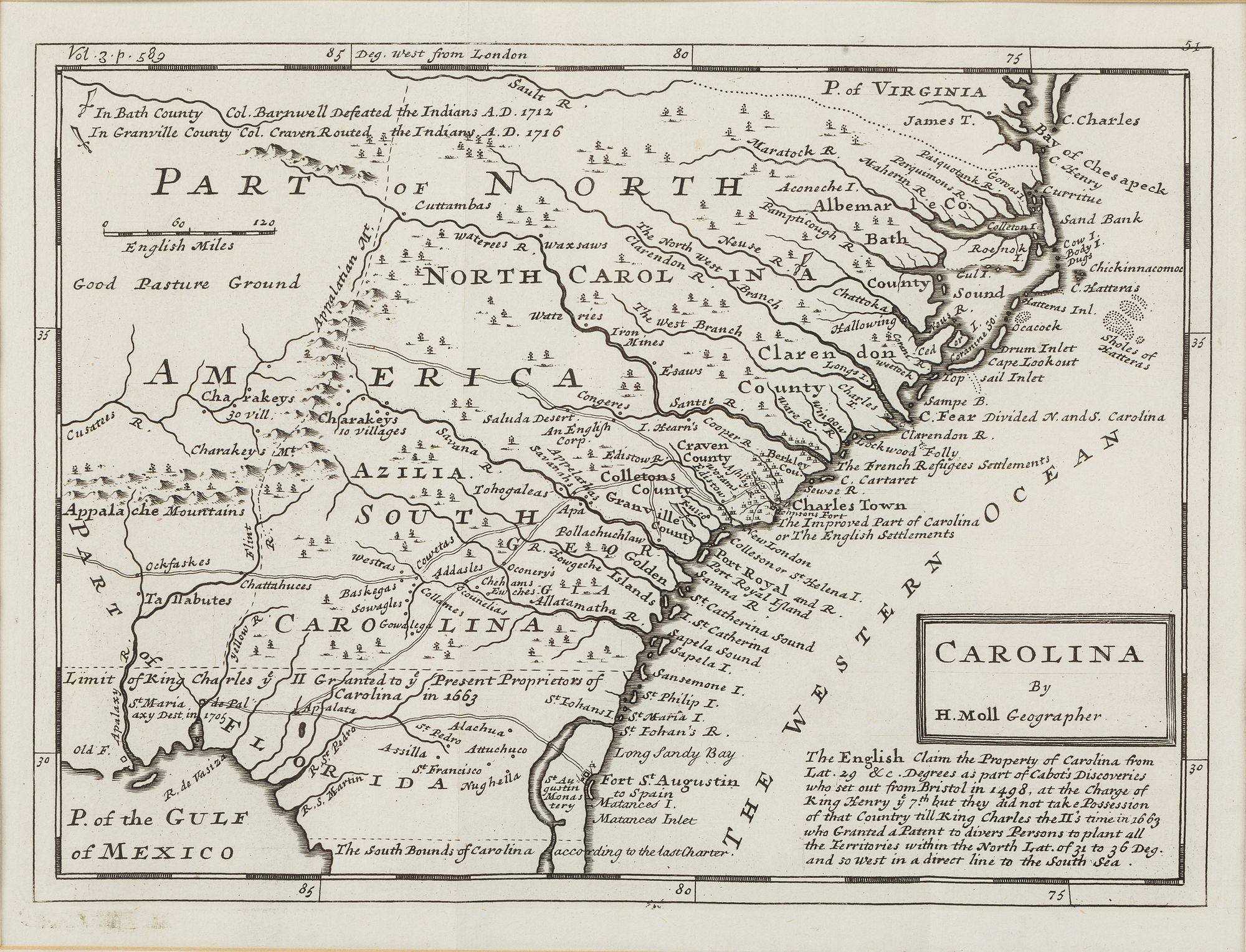
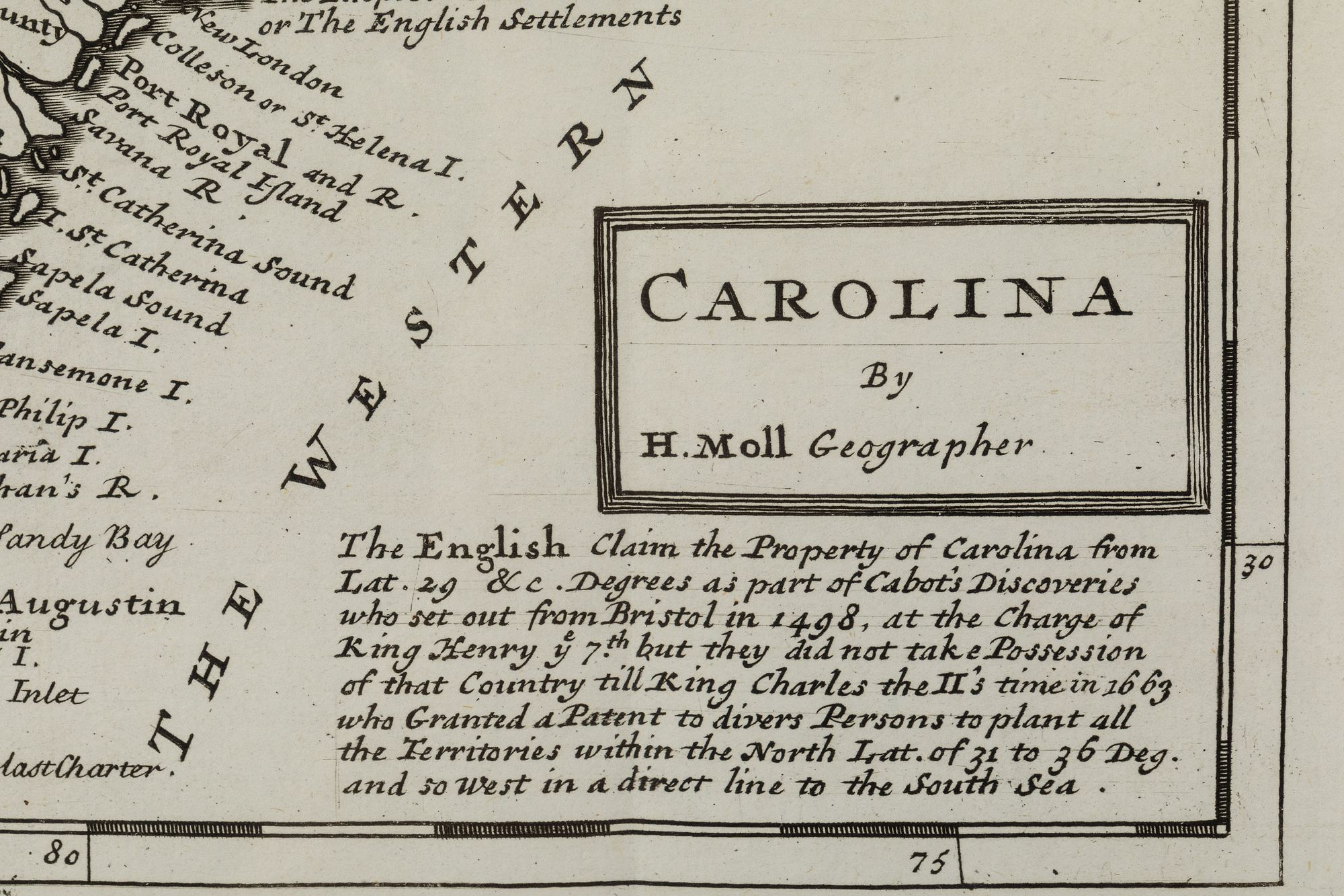
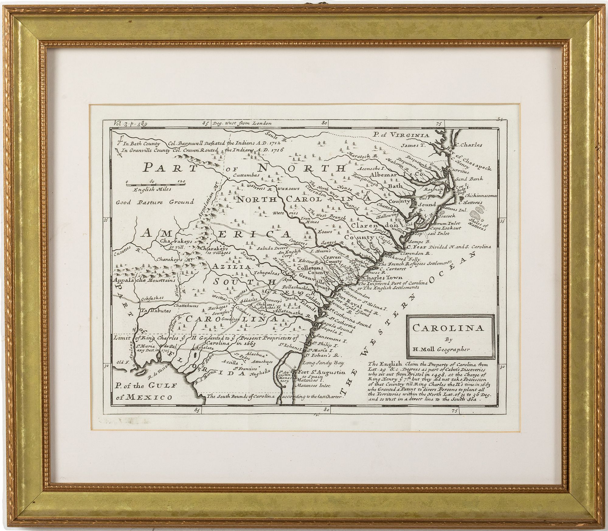
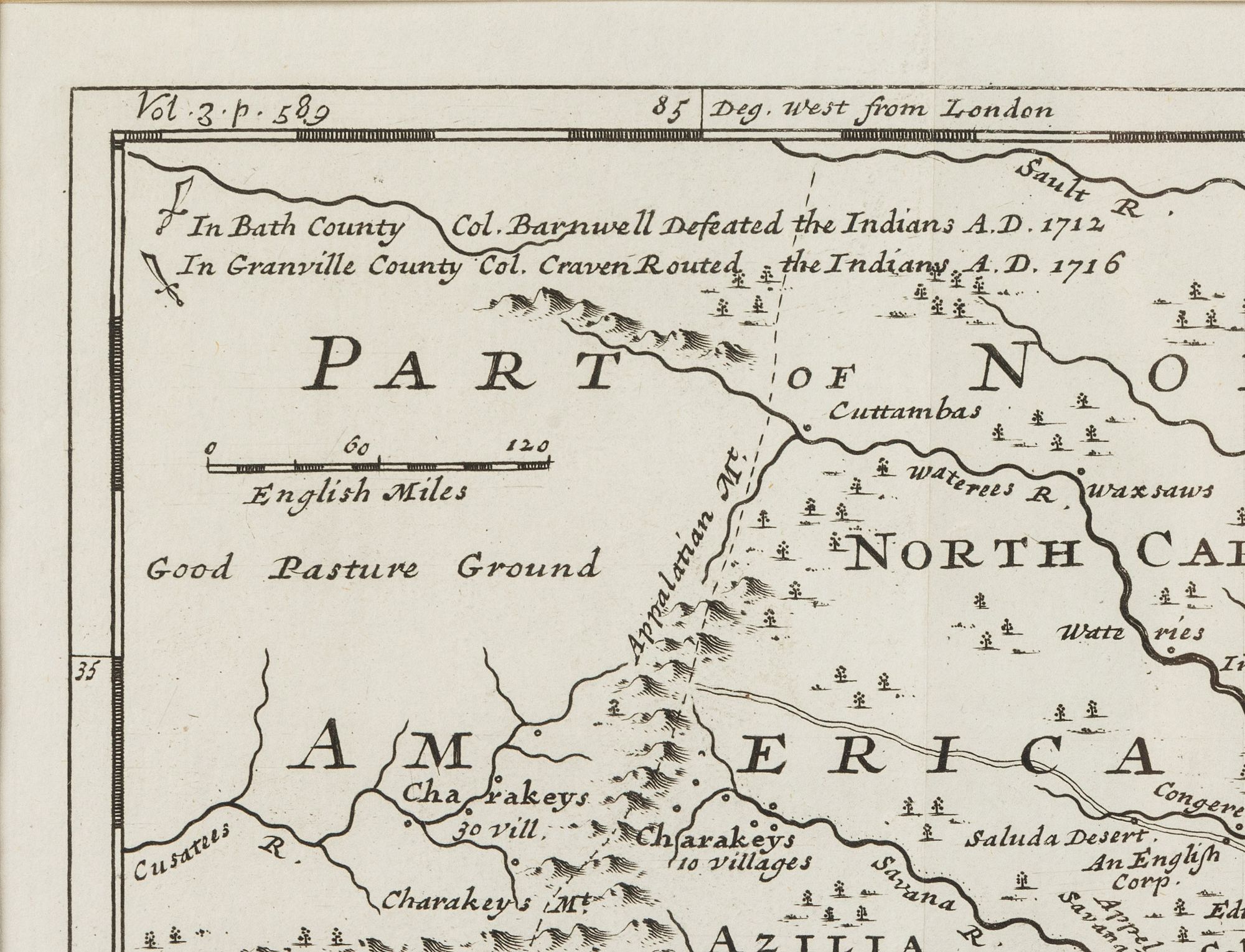
Property from the Collection of John and Virginia Duncan, Savannah, GA
Description:
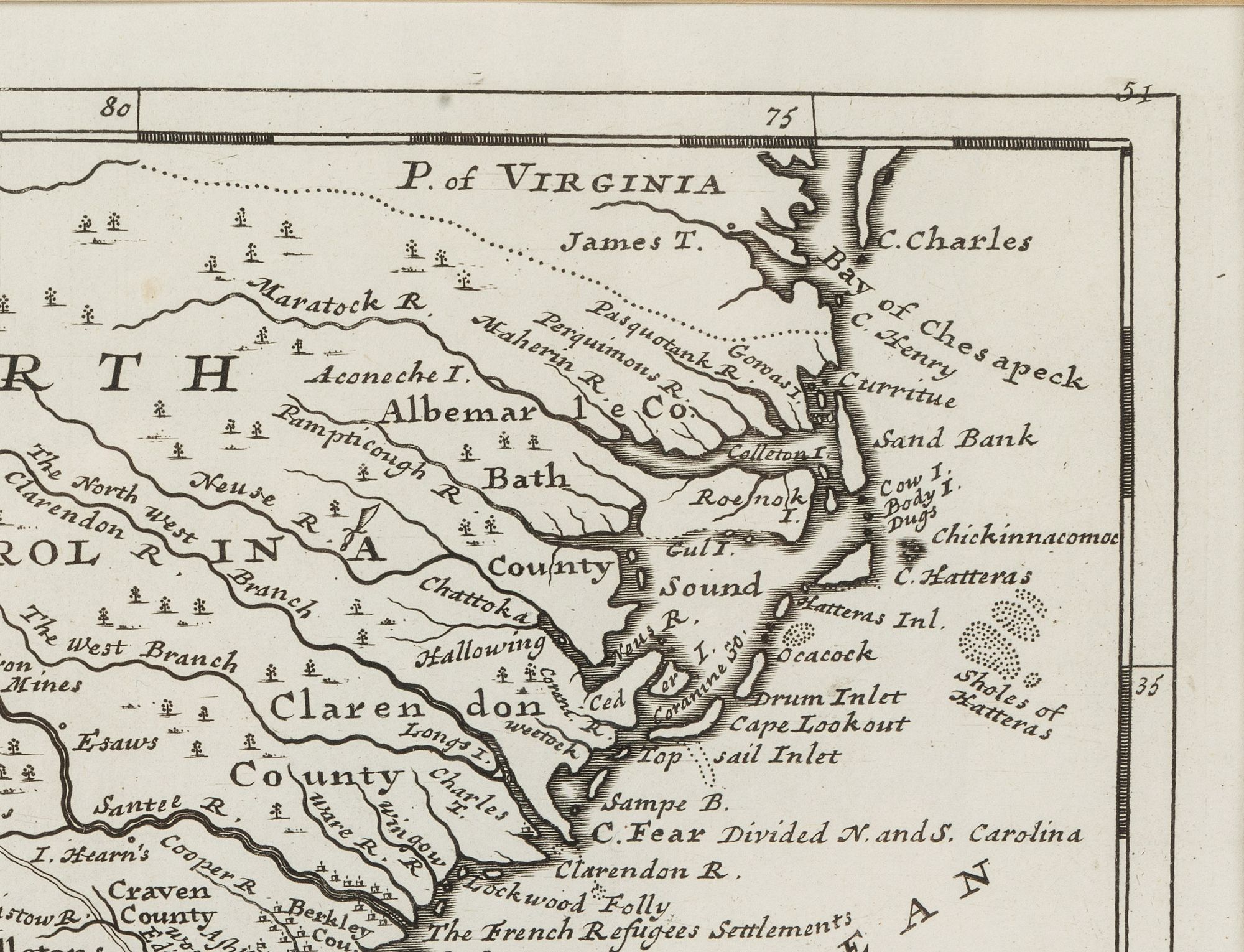
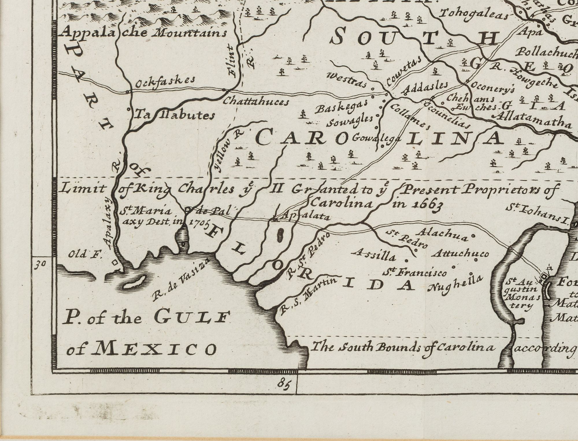
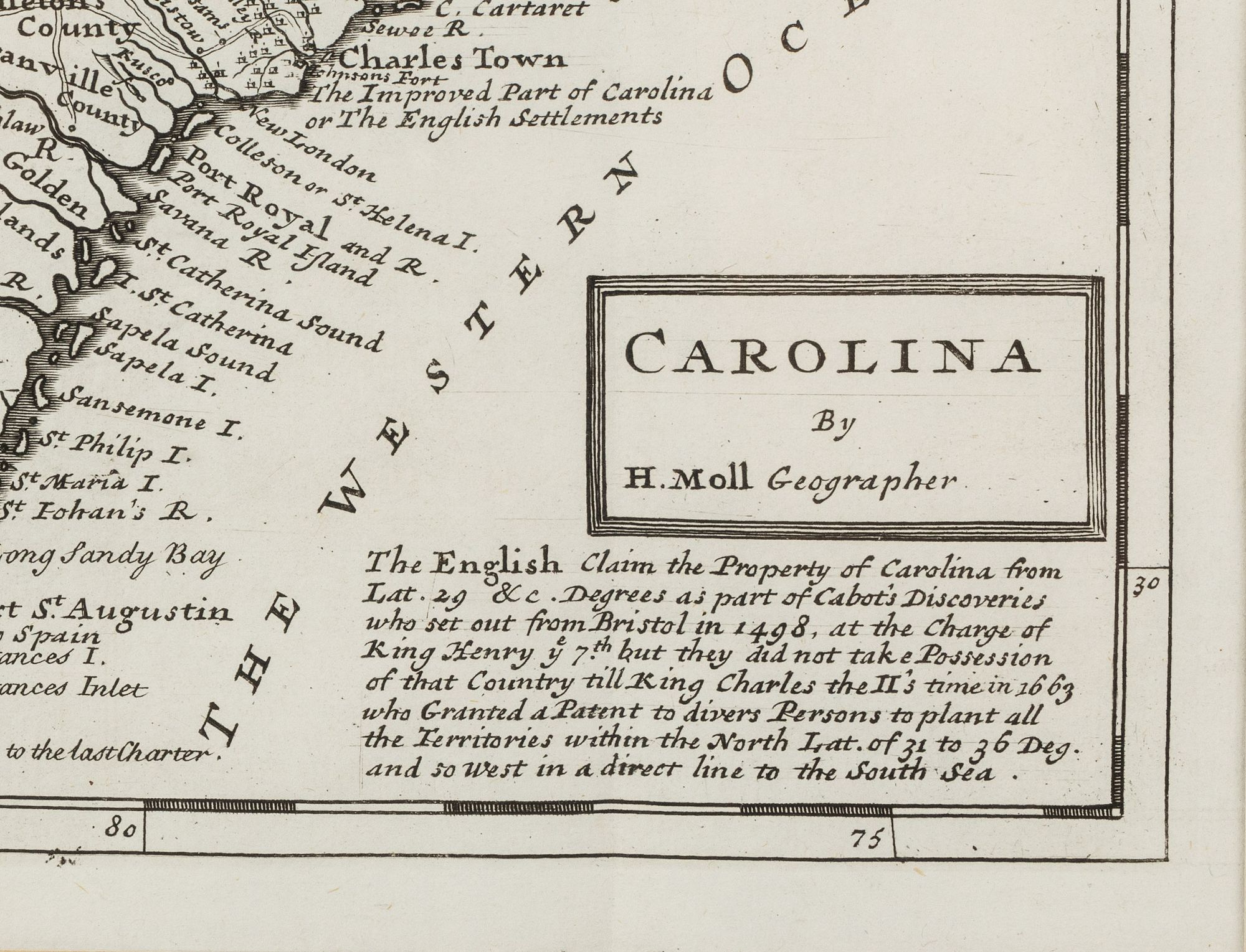
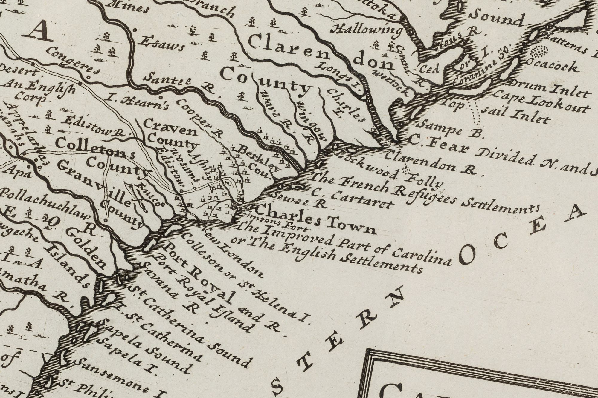
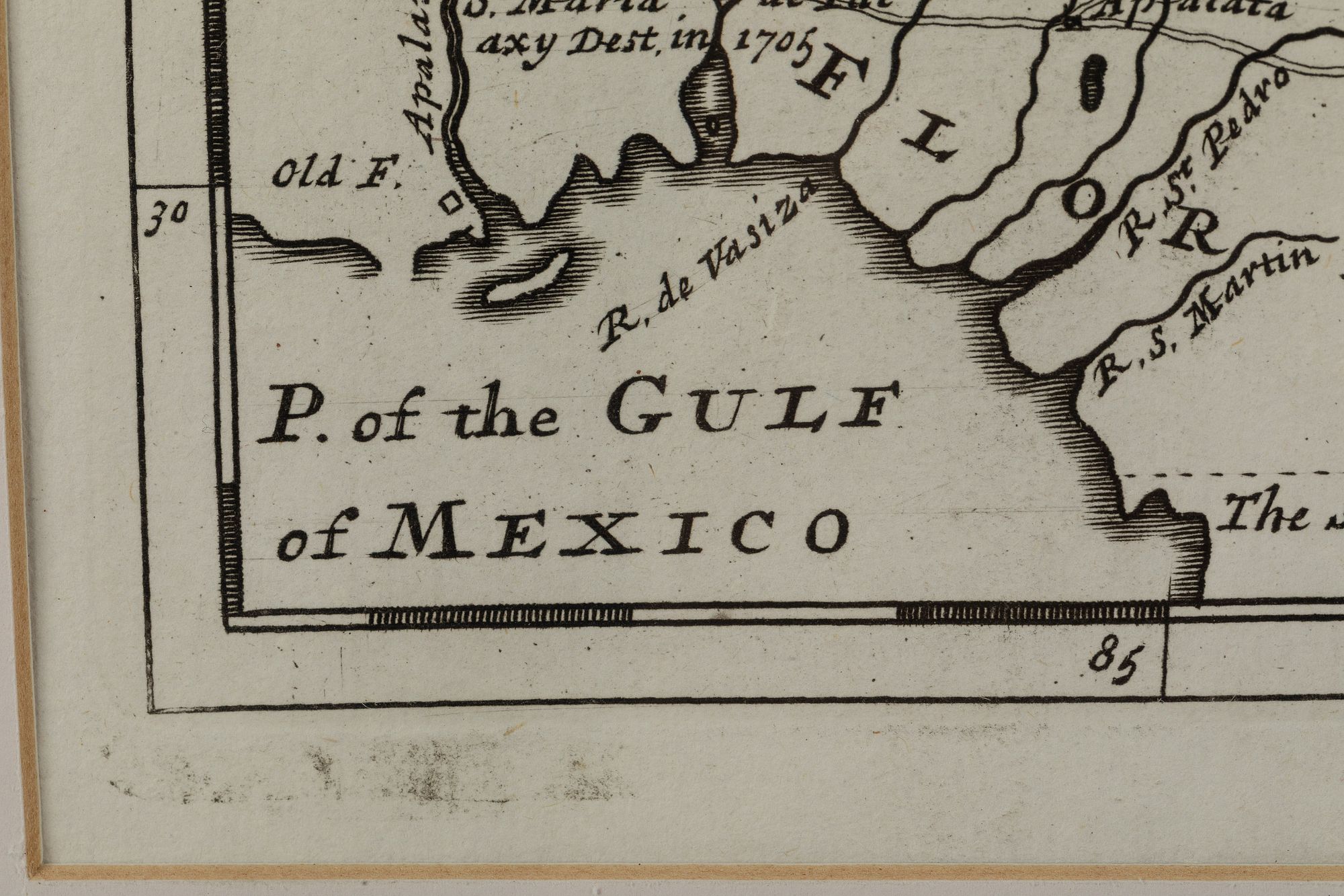
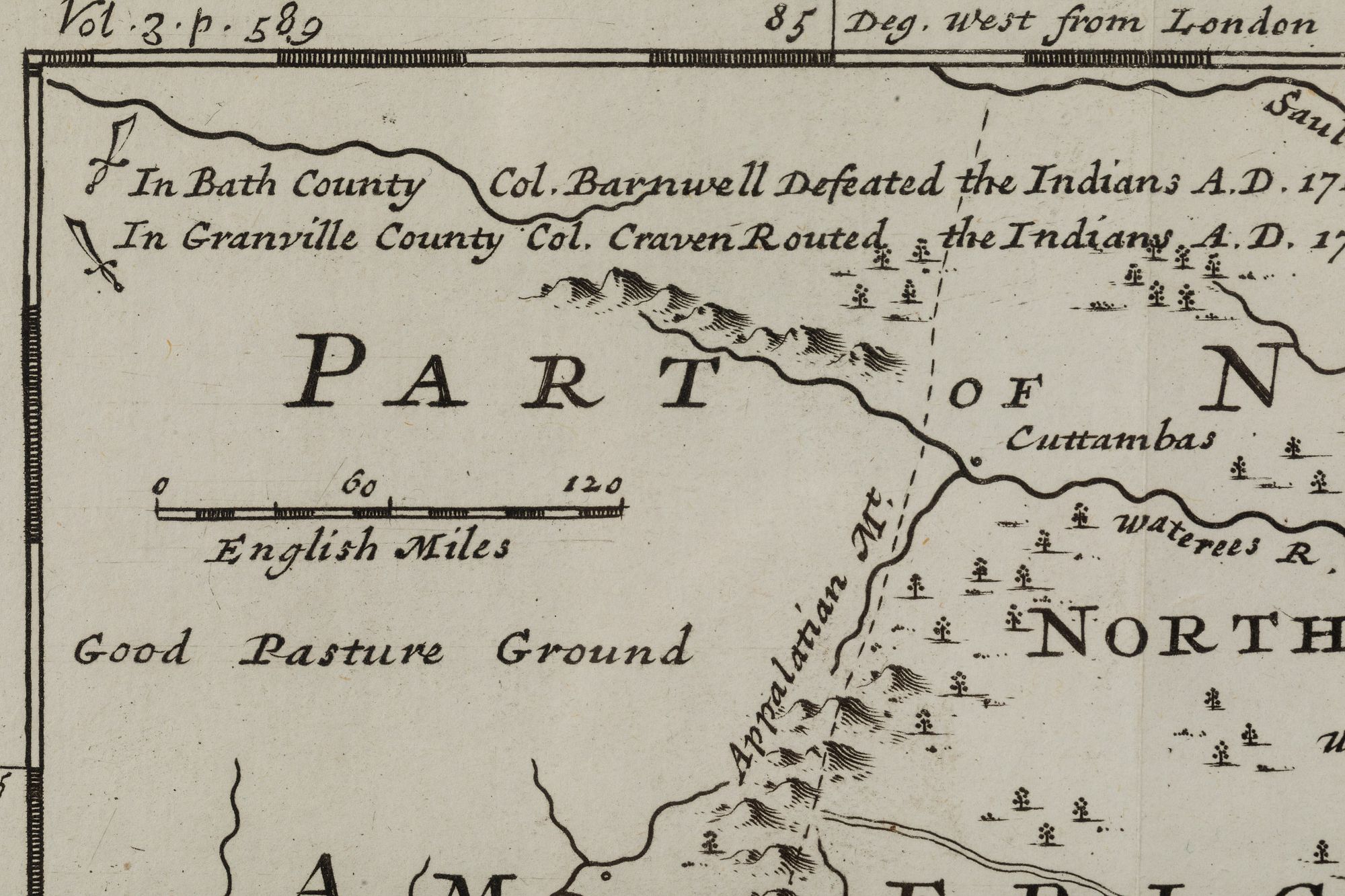
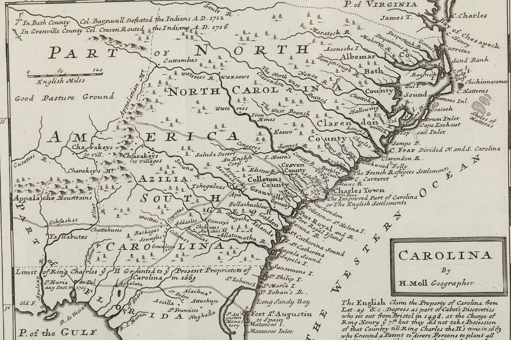
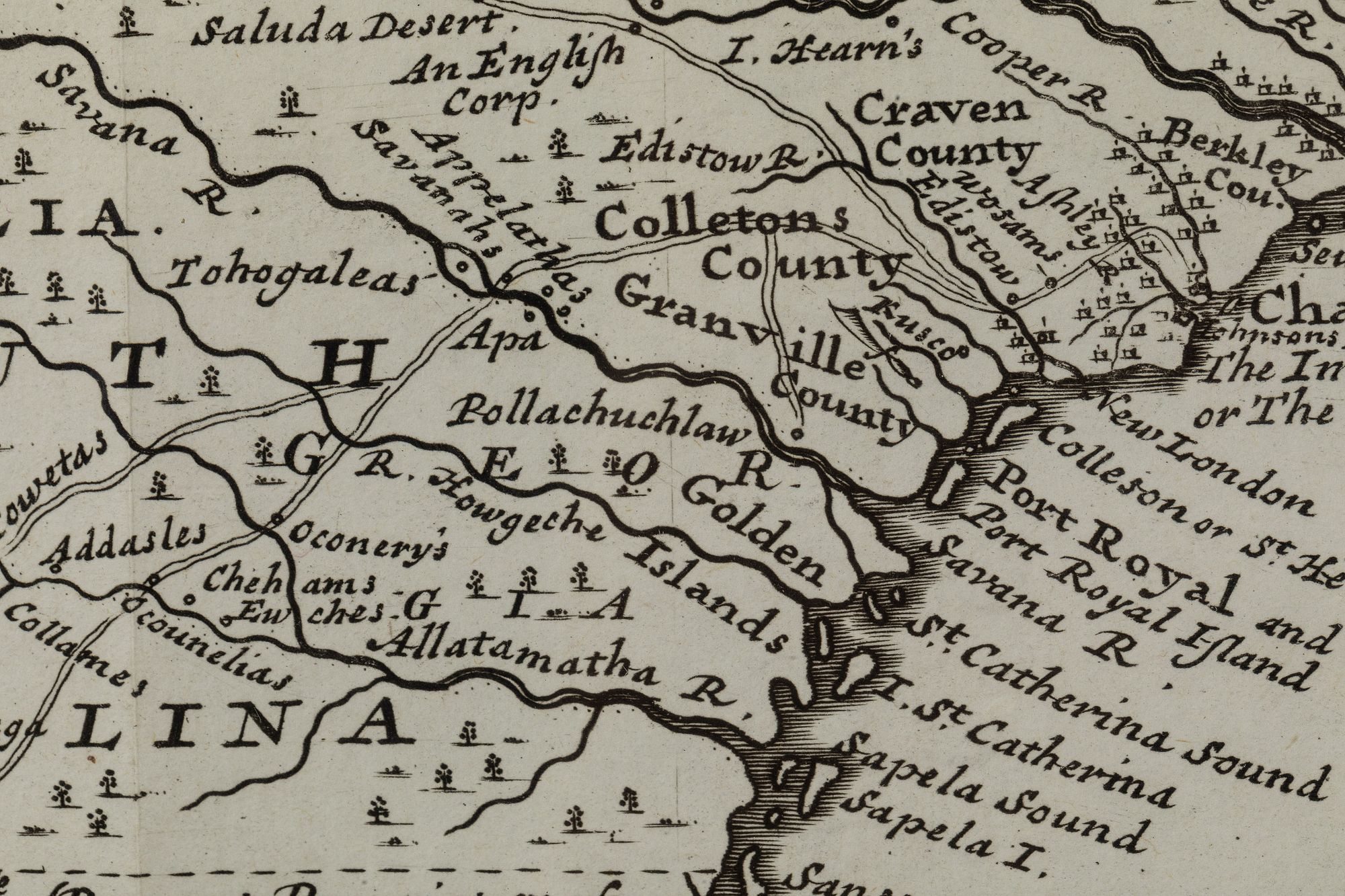
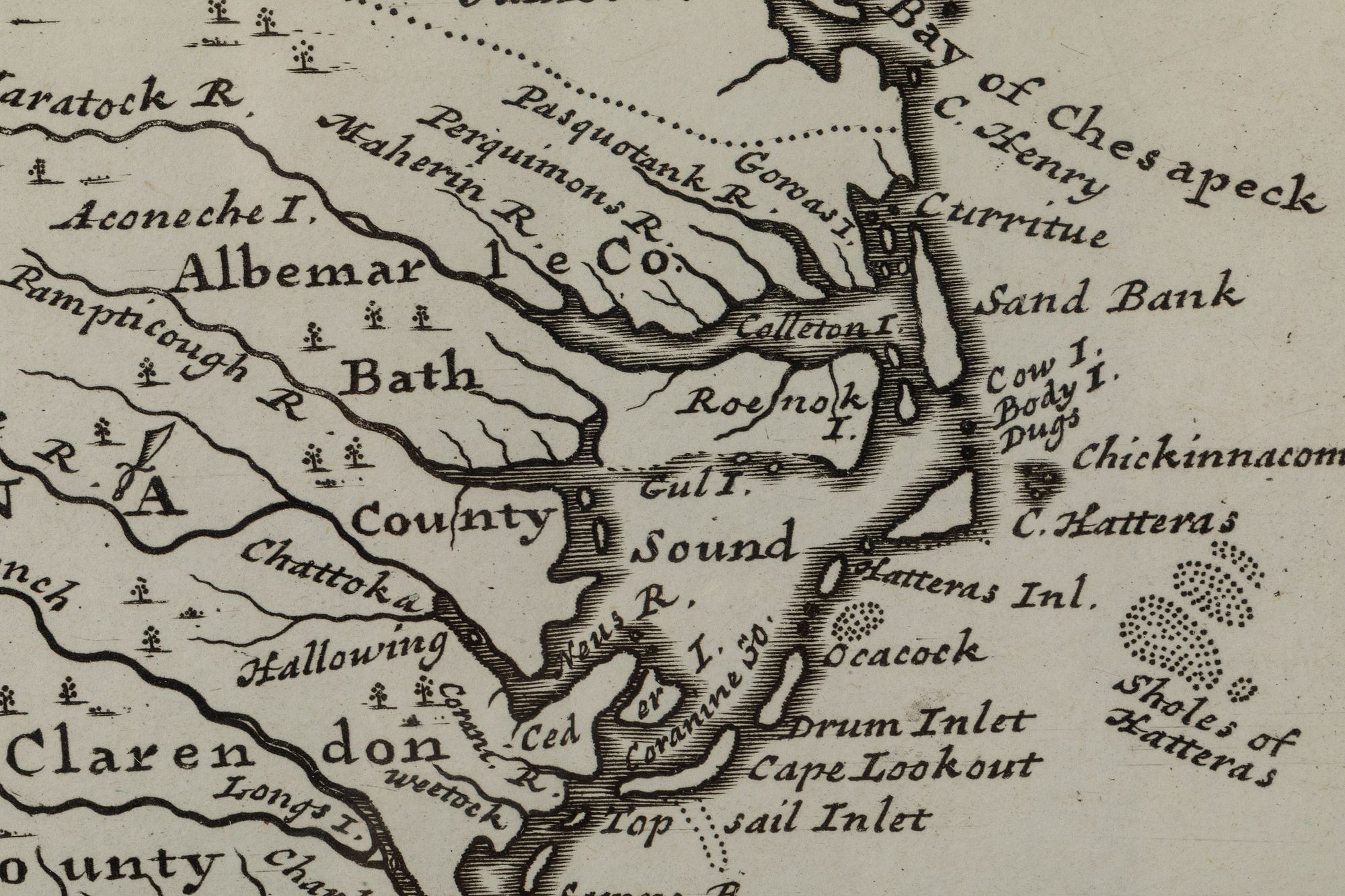
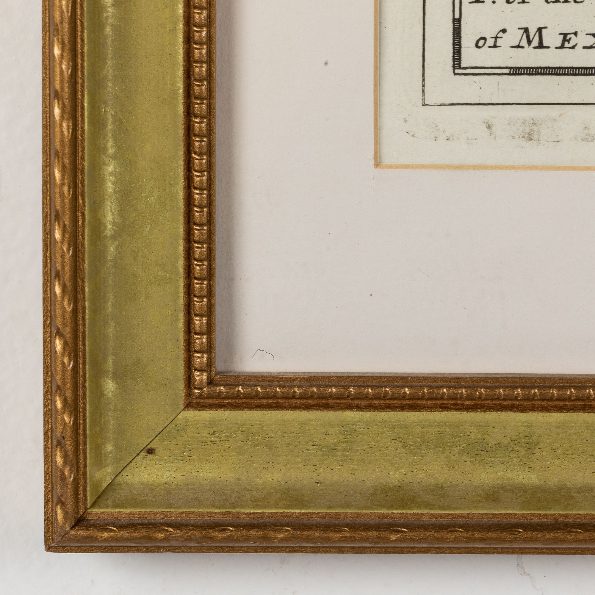
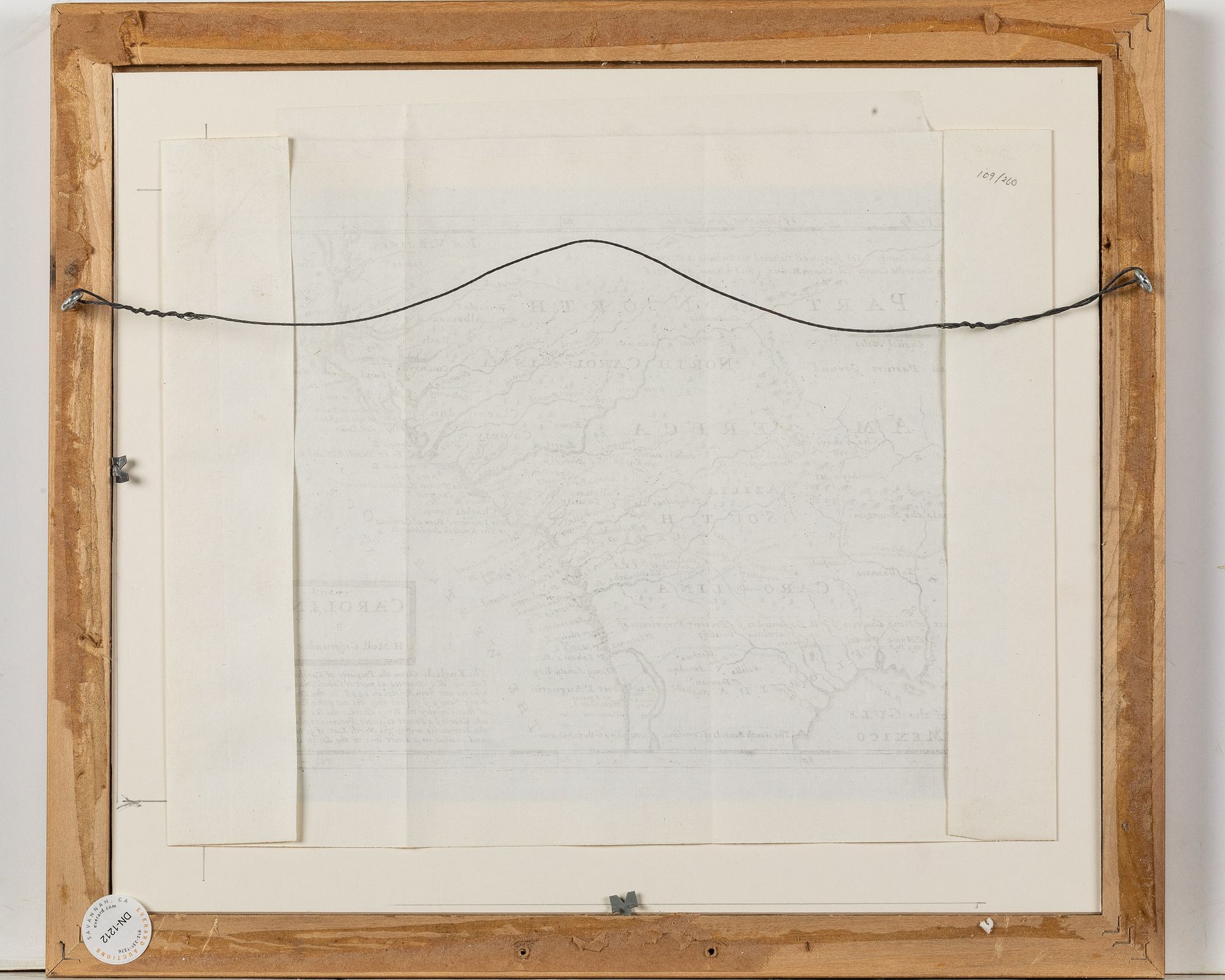
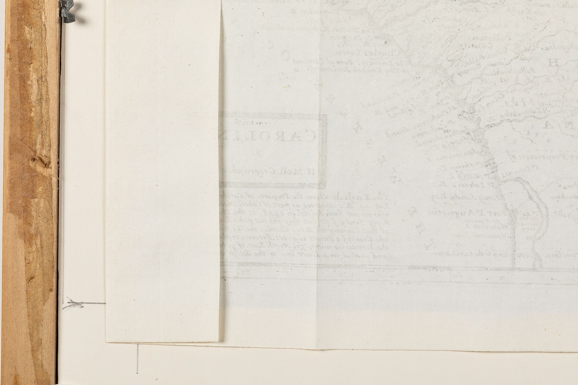
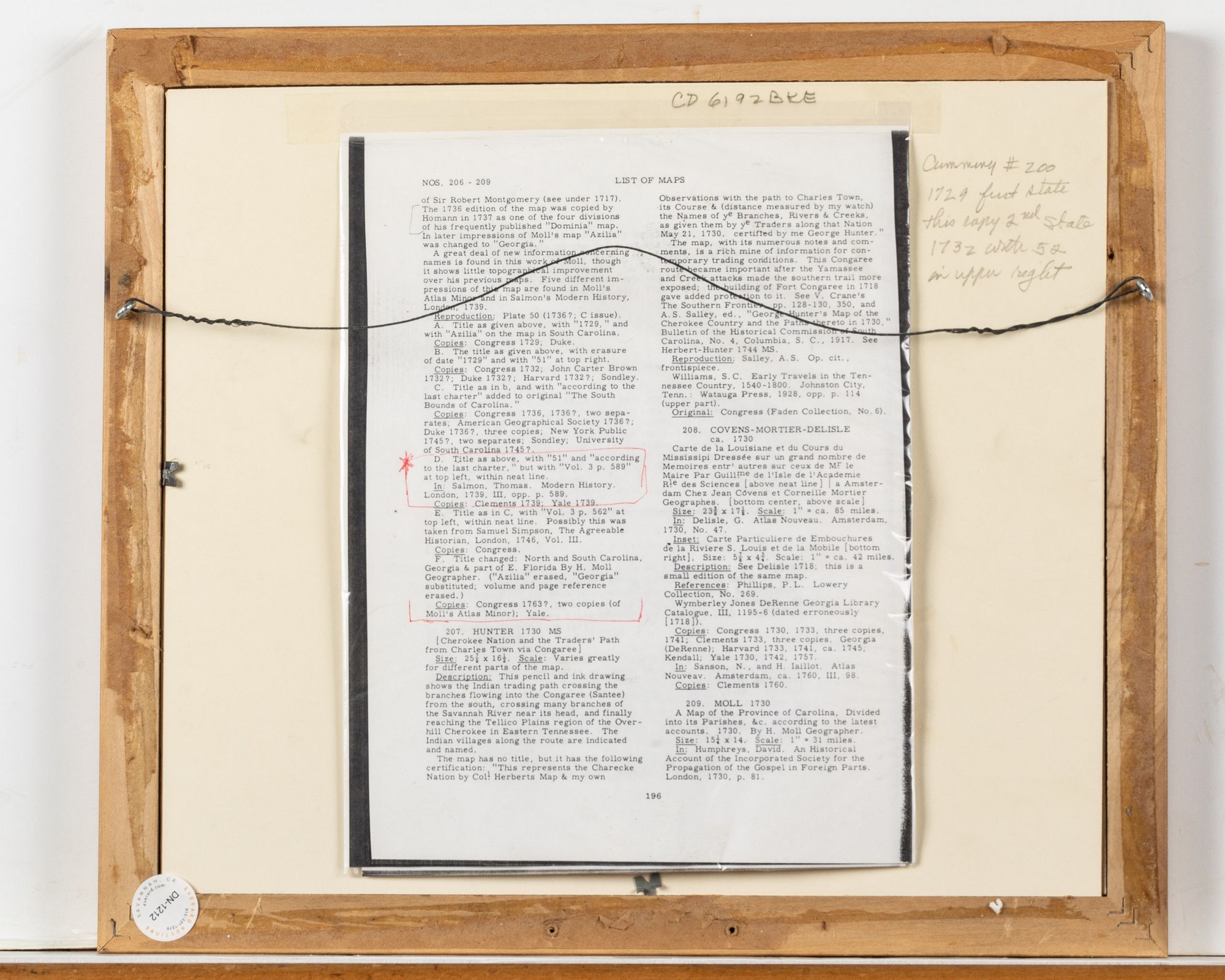
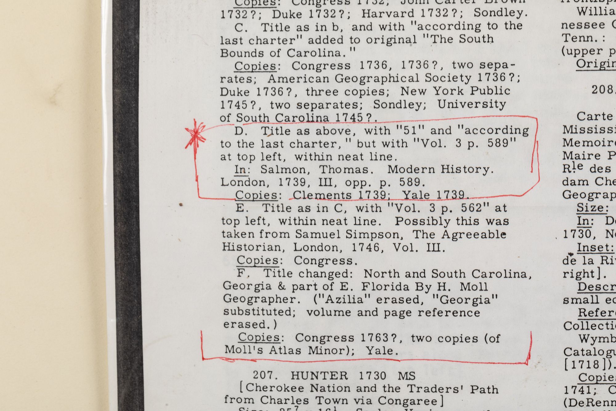
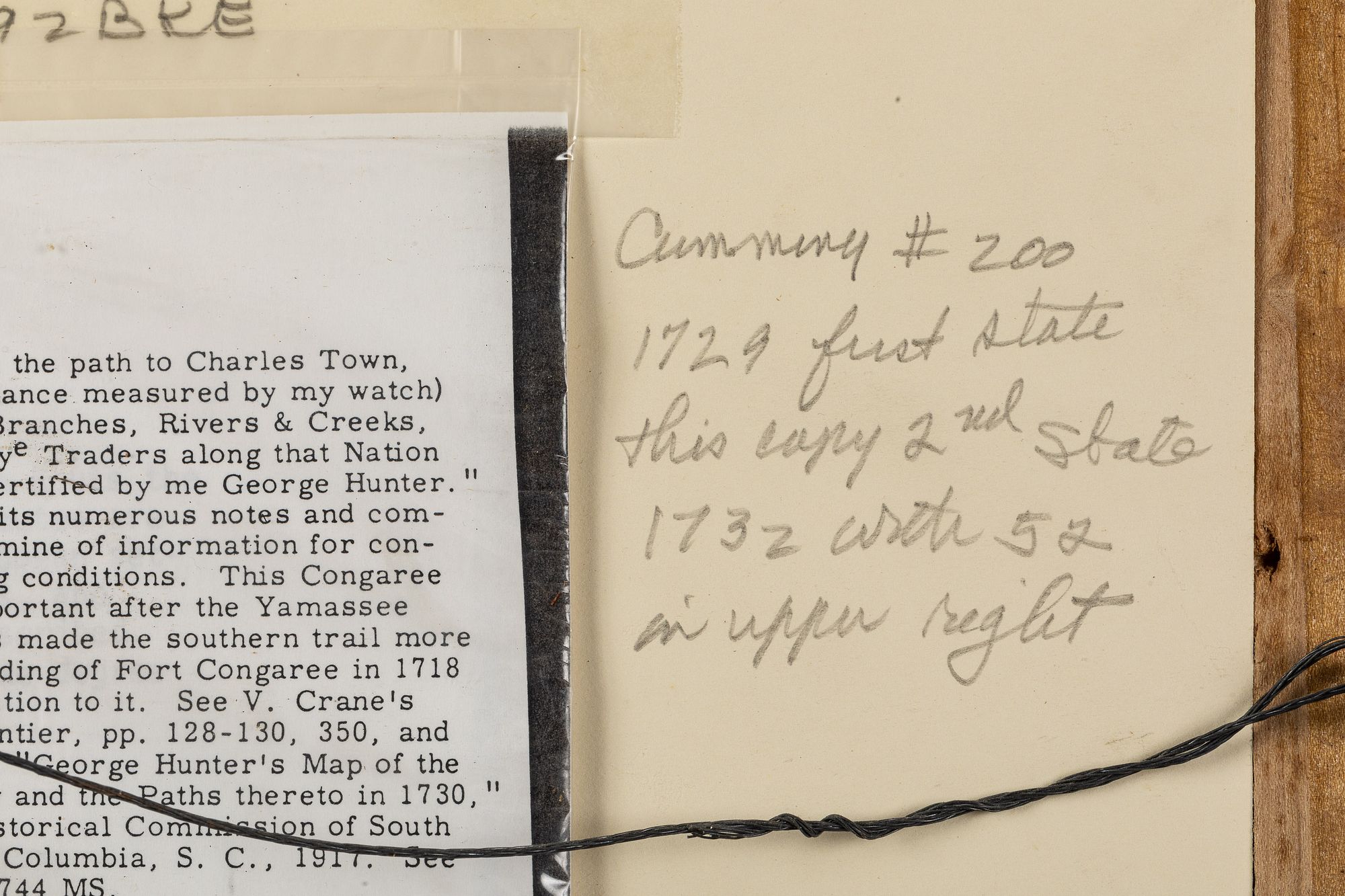
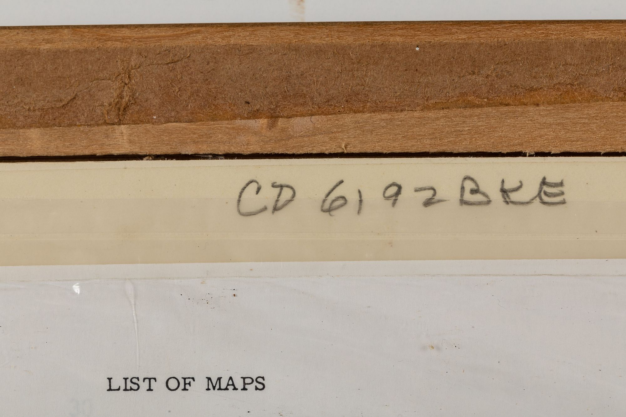
Map of Carolina by H. Moll Geographer, Second state, Engraving, c. 1732, titled 'Carolina, by H. Moll, Geographer', marked '51' in upper right and 'Vol. 3, P. 589' upper left, the map showing the locations of major towns, English settlements, and Indian plantations, tribe locations and various houses, with pencil inscription on verso 'Cumming #200, 1729, first state, this copy 2nd state, 1732, with 52 in upper right', and a copy of page 196 of William Cumming's 'The Southeast in Early Maps' attached to verso, matted and framed. Frame size: 13 7/8 in. x 15 7/8 in.Measurements: Height: by sight 8 1/2 in. x Width: 11 1/4 in.
Condition:
Overall good condition, faint horizontal and vertical creases, slightly loose in frame, not viewed out of frame.