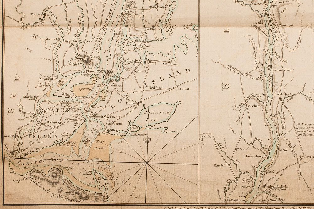
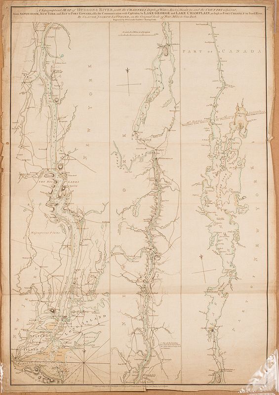
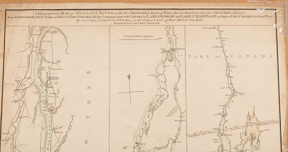
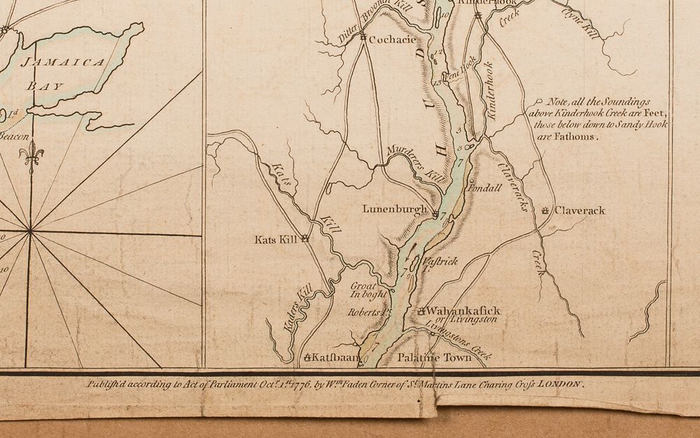
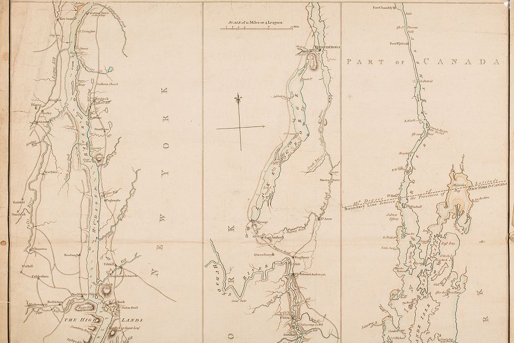
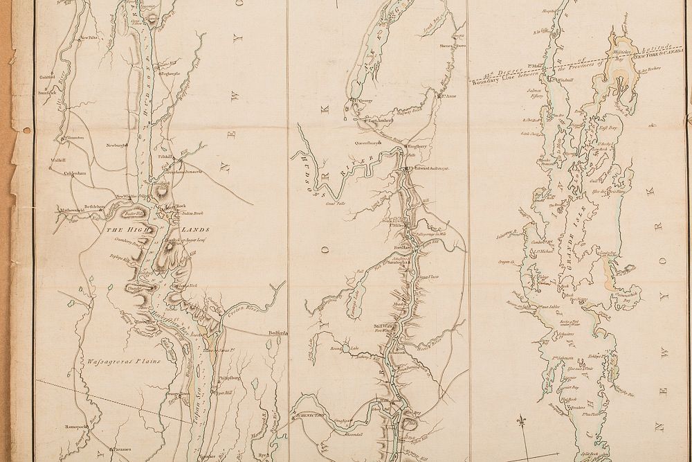
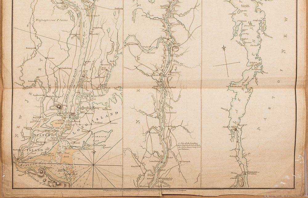
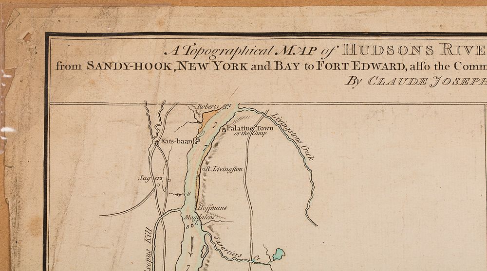
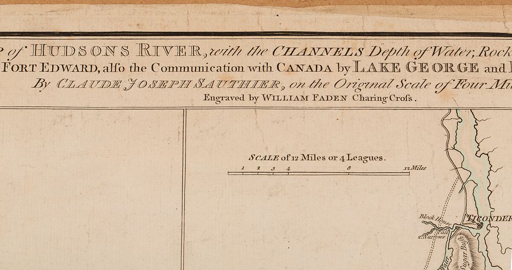
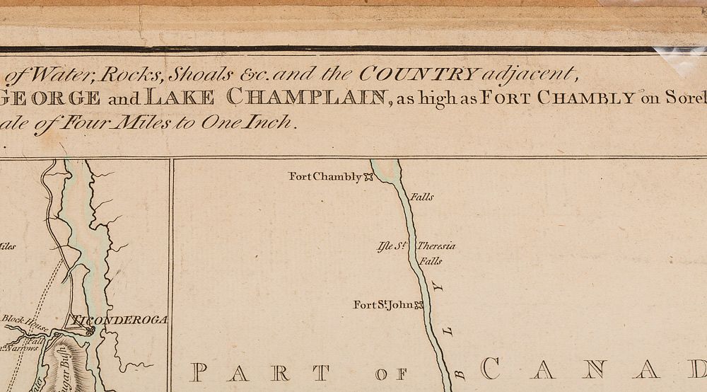
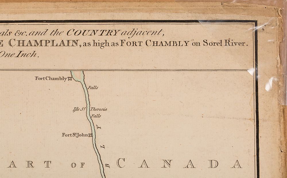
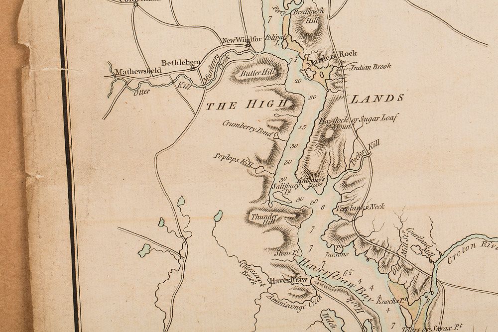
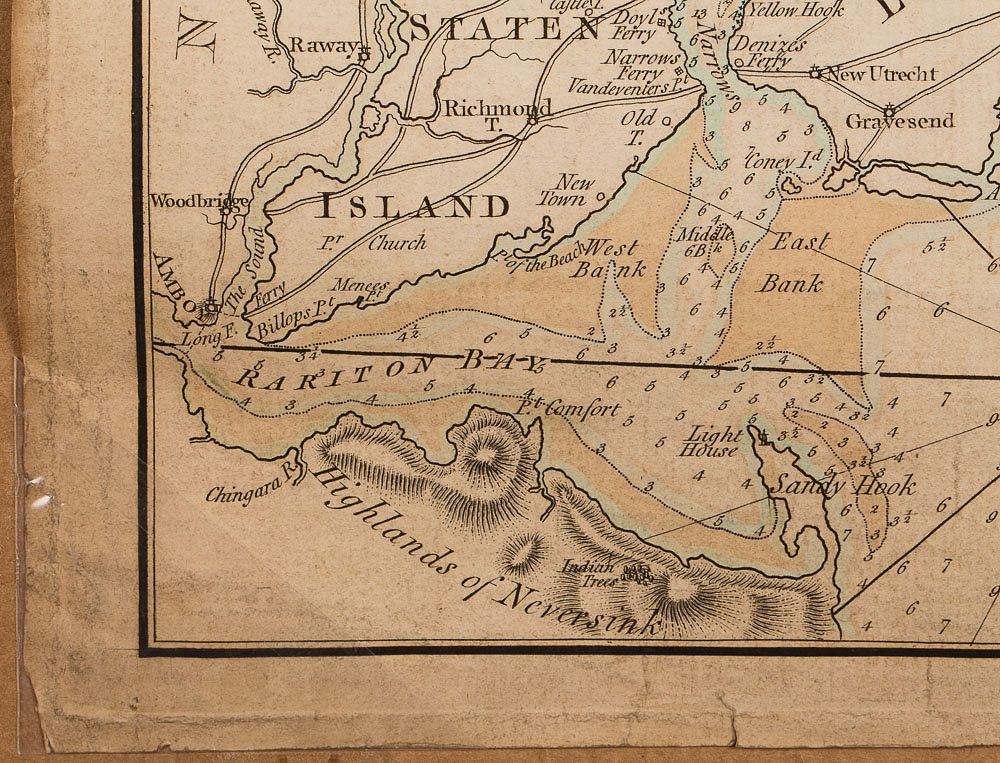
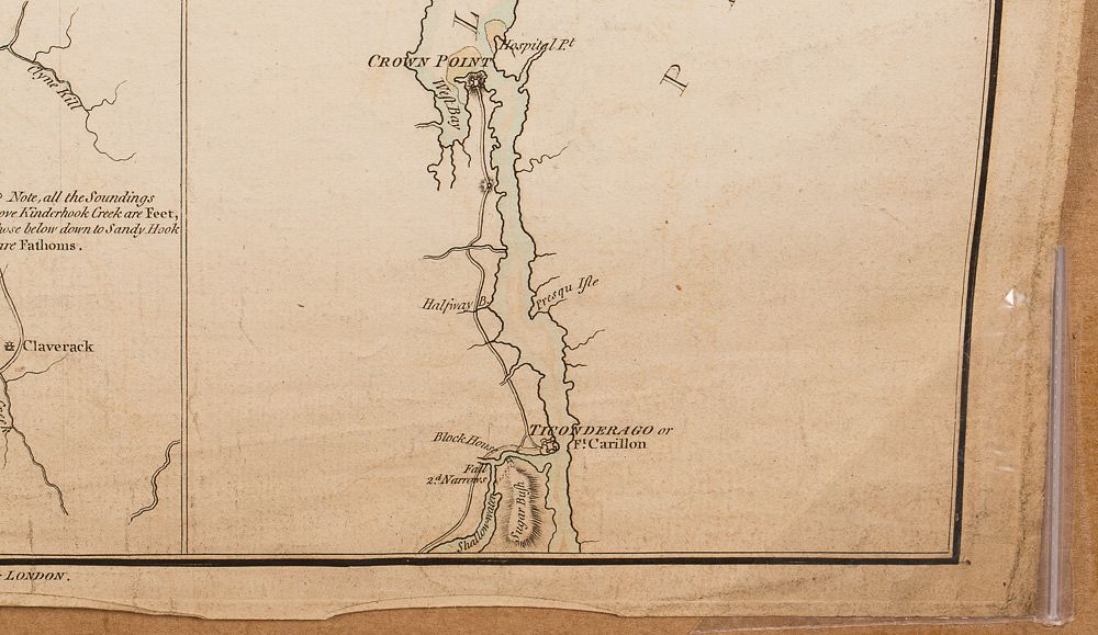
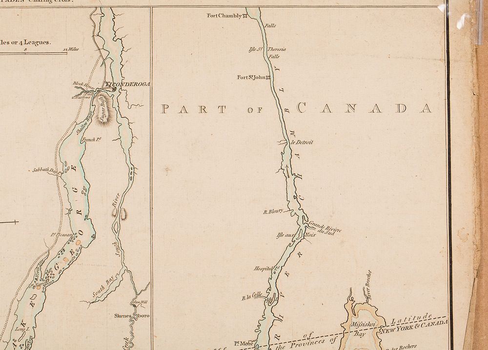
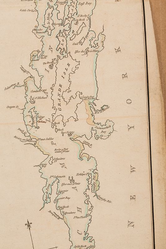
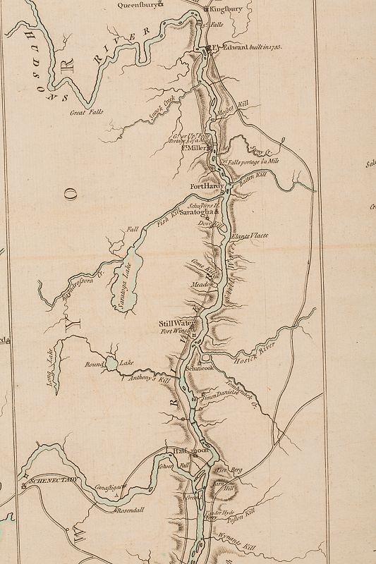
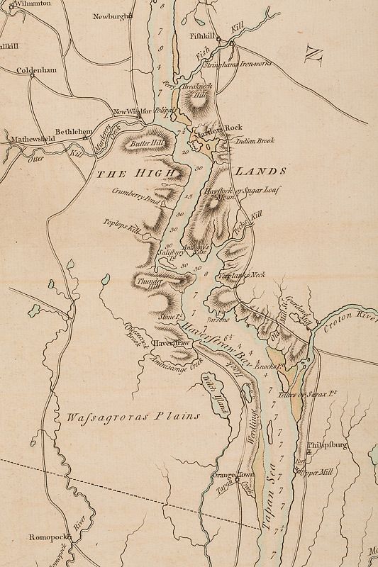
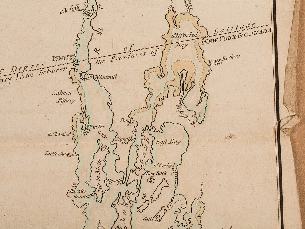
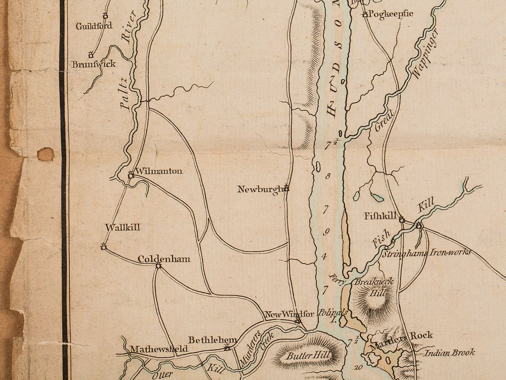
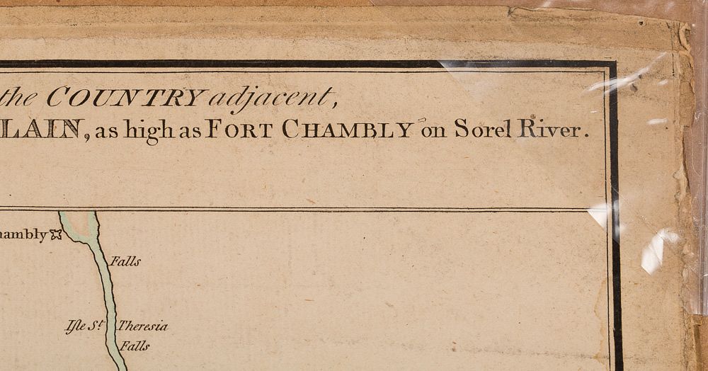
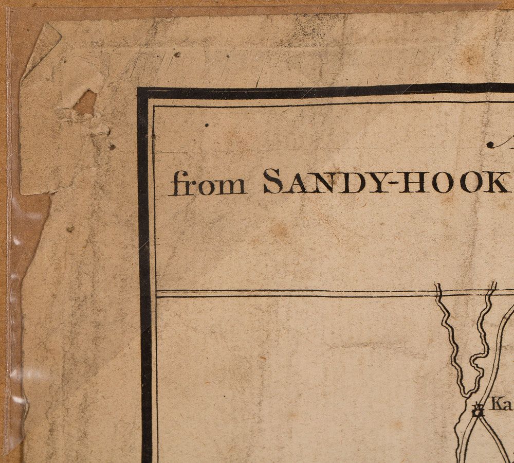
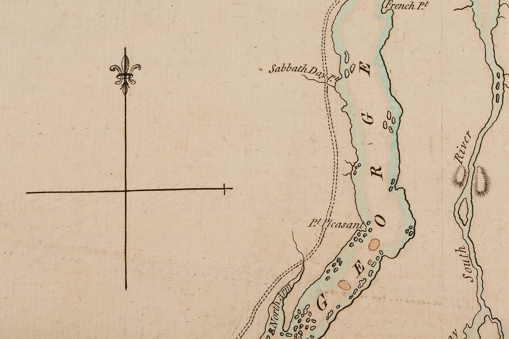
Property from the Estates of Dr. Woody Cobbs and Mrs. Honor Cobbs, Atlanta, GA Rare 1st State English Revolutionary War Map of US, Claude Joseph Sauthier (French, 1736-1802), "A Topographical Map of Hudsons River, with the Channels Depth of Water, Rocks, Shoals, &c. and the Country Adjacent, from Sandy-Hook, New York and Bay to Fort Edward, alfo the Communication with Canada by Lake George and Lake Champlain, as high as Fort Chambly on Sorel River."-circa 1776, hand colored cartography engraving, first state, engraved and published by William Faden (English, 1749-1836), titled at upper center, additionally inscribed at upper center "By Claude Joseph Sauthier, on the Original Scale of Four Miles to One Inch." and "Engraved by William Faden Charing Crofs." A rare and important first state English Revolutionary War map of the Hudson River / Lake George / Lake Champlain corridor (then a key access route between Canada and the American Colonies for the British) with extensive navigational notes including remarks of depth soundings, navigational hazards, naval and military outposts and roadways. The map is divided into three distinct vertical panels; the left-most panel depicting New York City and the New York Harbor and following the river north to just past Kingston and Rhinebeck (Rhynbeck); the central panel depicting the river just north of Kingston and Rhinebeck through Ticonderoga, including the Hudson's intersection with Mohawk River and Lake George; the right-most panel depicting Lake Champlain. The map has been carefully hand colored to outline waterways with celadon blue and pale sand-toned pigments.